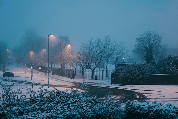
In the coming week an Arctic blast threatens to send temperatures to plummet from Wednesday and the mercury will hover around freezing during the day and will fall overnight.
Today Scotland had its first snow fall and temperatures could fall below average in the Scottish mountains.
There is a yellow weather warning in place for snowfall up to 10cm in the north and strong northerly winds could risk blizzard conditions.
Just a reminder that even colder air will feed down across the UK from the north during the coming week
A yellow #snow warning has already been issued for Northern Scotland on Wednesday
We’ll keep you updated with the forecast, and warning situation over the next few days https://t.co/Y33MQFX0xc
— Met Office (@metoffice) December 4, 2022
Sky News meteorologist Kirsty McCabe said, “It’s the first notable cold spell of the winter, and it will turn even colder from the North next week as the winds swing round to a more northerly direction.
“That will introduce a feed of colder air all the way from the Arctic.
“As well as making it feel much colder, Arctic air is lovely and clean and brings sparkling winter sunshine with great visibility.
“However, it also means frosty nights and an increasing risk of sleet and snow in any showers.
“The Met Office has already issued a yellow snow warning for parts of northern Scotland and the Northern Isles on Wednesday, as snow showers could cause travel disruption.
“Accumulations of 2 to 5cm (0.7 to 2in) are possible at lower levels, with 5 to 10cm (2 to 4in) of snow above 200m.
“The strong northerly winds will bring an additional risk of drifting and blizzard conditions.”

