For decades, geologists have understood the broad picture of how eastern North America came to be. It begins with plate tectonics, the process in which pieces of Earth’s crust shuffle around over time, driven by churning motions in the underlying mantle. Plate tectonics created and then broke apart an ancient supercontinent known as Rodinia. By around 550 million years ago, a fragment of Rodinia had shuffled south of the equator, where it lay quietly for tens of millions of years. That fragment is the heart of what we know today as eastern North America.
Then, around 500 million years ago, tectonic forces started bringing fragments of other landmasses toward the future eastern North America. Carried along like parts on an assembly line, these continental slivers crashed into it, one after another. The slivers glommed together and built up the continental margin.
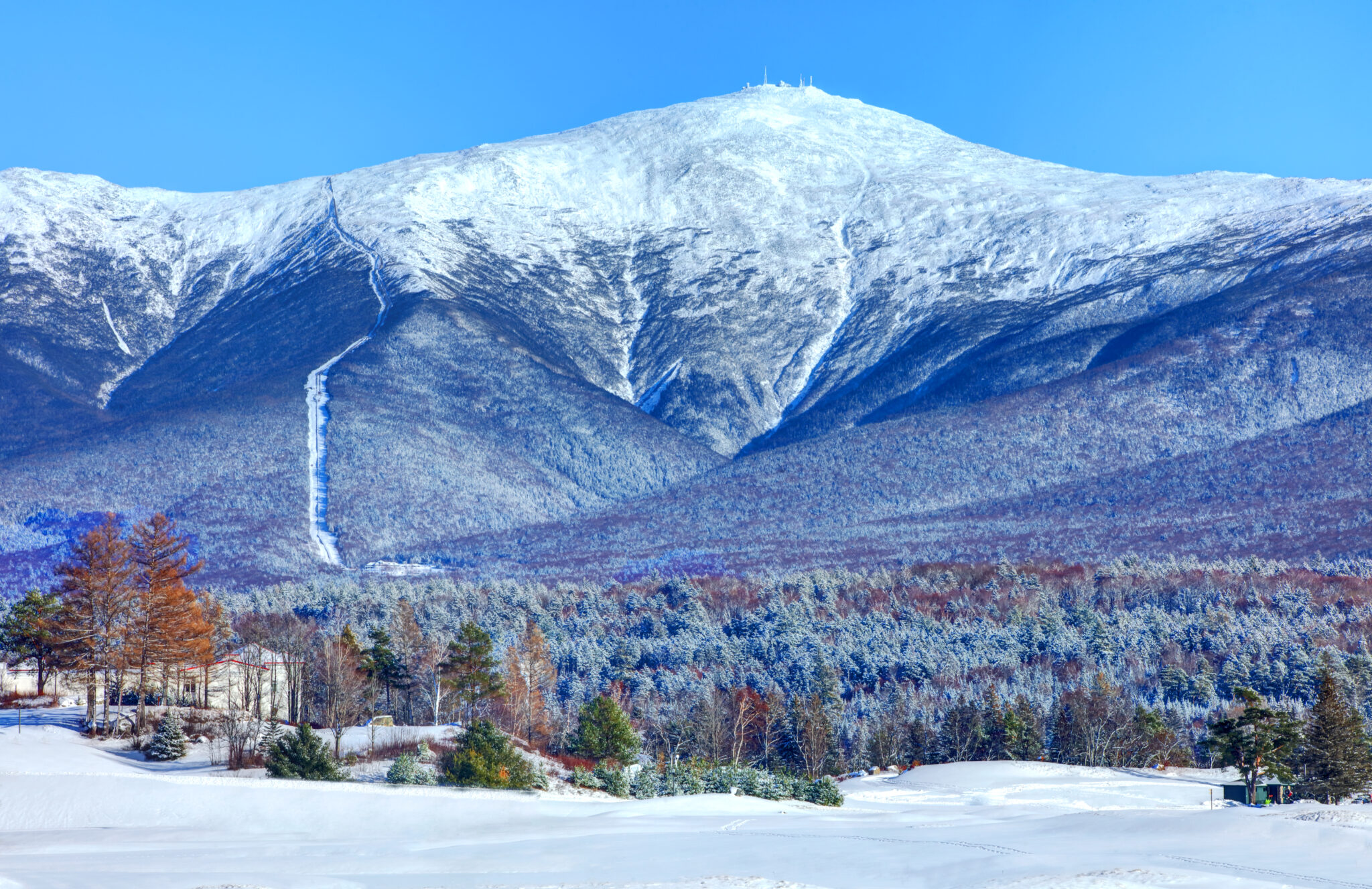
During that process, as more and more continental collisions crumpled eastern North America and thrust its agglomerated slivers into the sky, the Appalachian Mountains were born. To the west, the eastern North American margin had merged with ancient rocks that today make up the heart of the continent, west of the Appalachians and through the Midwest and into the Great Plains.
By around 270 million years ago, that action was done, and all the world’s landmasses had merged into a second single supercontinent, Pangaea. Then, around 200 million years ago, Pangaea began splitting apart, a geological breakup that formed the Atlantic Ocean, and eastern North America shuffled toward its current position on the globe.
Since then, erosion has worn down the peaks of the once-mighty Appalachians, and eastern North America has settled into a mostly quiet existence. It is what geologists call a “passive margin,” because although it is the edge of a continent, it is not the edge of a tectonic plate anymore: That lies thousands of miles out to the east, in the middle of the Atlantic Ocean.

