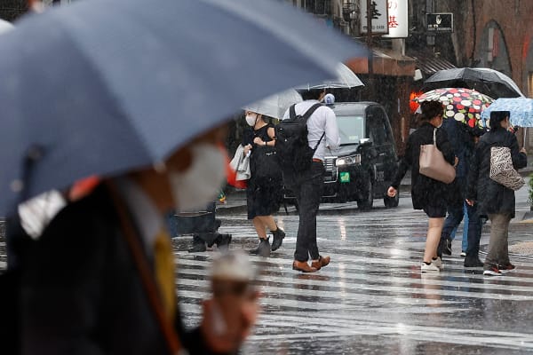
The Met Office has said low pressure remains the dominant force for the UK’s weather over the next few days, with further rain on the way for some flood-hit areas.
While Thursday starts with a drier interlude for many, further rain is on the way, with a Yellow rain warning issued for southwest England.
This band of rain will move gradually northeast through Thursday night and Friday, bringing rain for much of the country.
On Friday, a rain warning is in force for Northern Ireland for much of the day. As it moves northeast overnight, this front is likely to bring some short-lived snowfall to high ground in the north of Wales, northern England and Scotland, though this is likely to fall as rain to lower levels.
Also on Friday, another area of low pressure arriving from the southwest of England later in the day will bring more rain, with a further warning issued for parts of southwest England, extending into Saturday morning.
Met Office Chief Forecaster Rebekah Hicks said, “Over the next few days we’ll see more rain into areas of the country which have already been hit by flooding, and the saturated ground contributes to the ongoing likelihood of some disruption caused by the coming rain.
“The totals we’re expecting aren’t comparable to Storm Chandra, but with around 25 mm possible each day in parts of the Yellow warning areas, it could be sufficient to lead to difficult travel conditions and further flooding in places.”
The influence of low pressure remains dominant for much of the weekend, with more outbreaks of rain on Saturday for central and southern parts of England and showers further north.
Sunday will be the drier day of the weekend for many, albeit with further showers drifting in from North Sea coasts, as well as in western parts too. It’ll be largely cloudy, though with some brighter intervals at times.
Met Office Deputy Chief Forecaster Stephen Kocher explained the reasons behind the current unsettled outlook: “The temperature contrast in North America is helping to invigorate the jet stream, which is a driver for much of the UK’s weather. With the jet stream strengthened, this helps to develop and strengthen low pressure systems and push them towards our shores, resulting in the weather we’ve seen over recent days. This is likely to bring further unsettled weather into next week.”

